How Underwater Landscapes Shape Humpback Whale Habitats
Beneath the ocean's surface lies a landscape of continental shelves, deep basins, underwater mountains, ridges, and steep slopes. Although these features are hidden from most visitors, they help shape marine ecosystems and influence how water and marine life are distributed.
Humpback whales travel through a wide variety of underwater environments during their lives. Their habitat use depends on many factors, including seasonal needs, prey availability, water depth, and the characteristics of the surrounding marine ecosystem.
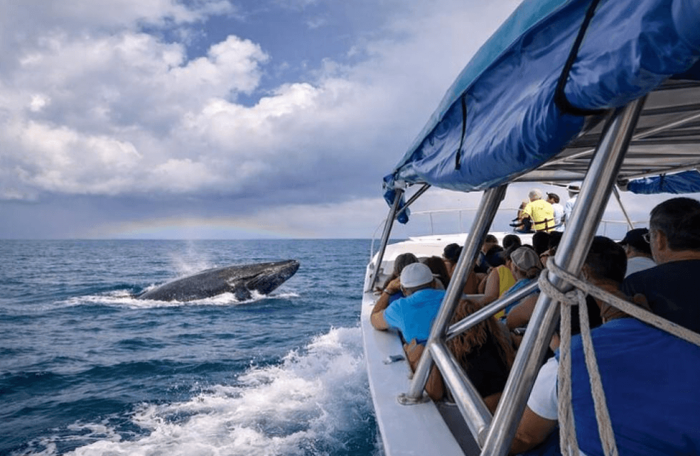
For visitors interested in Samaná whale watching in the Dominican Republic, understanding underwater geography adds another dimension to the experience. The visible ocean surface is only one part of a much larger environment.
In this guide, we explore the main types of underwater landscapes, how they influence marine habitats, and why seafloor geography matters when studying humpback whales.
What Is Underwater Topography?
Underwater topography, also known as seafloor topography or bathymetry, describes the shape and depth of the ocean floor.
Just as mountains, valleys, and plains create different landscapes on land, the ocean floor contains a variety of geological features. Some are relatively shallow and gently sloping, while others descend into deep ocean basins.
These features influence water movement, habitat structure, and the distribution of marine organisms.
Scientists study underwater topography using tools such as sonar, depth sounders, and satellite-derived measurements. The resulting maps help researchers understand the physical structure of the seabed and investigate its relationship with marine ecosystems.
Although humpback whales spend most of their time in the water column rather than on the seafloor, underwater geography can influence the environments they encounter.
Continental Shelves: The Transition Between Land and Deep Ocean
A continental shelf is the relatively shallow, submerged extension of a continent. It stretches from the coast toward the deeper ocean, ending near the continental slope.
Continental shelves vary considerably in width and depth. Some extend far offshore, while others are comparatively narrow.
These regions can support productive marine ecosystems because of factors such as sunlight penetration, nutrient availability, and the movement of water between coastal and offshore environments.
For humpback whales, shelf waters can form part of feeding grounds, migration routes, or other seasonal habitats, depending on the population and location.
However, a continental shelf does not automatically attract whales. The presence of suitable prey, seasonal behavior, and other environmental conditions are also important.
For whale watchers, this distinction matters because the depth of the water alone cannot predict where a humpback whale will surface.
Continental Slopes: Where the Seafloor Descends
Beyond the outer edge of many continental shelves, the seabed descends more steeply toward the deep ocean. This region is called the continental slope.
Continental slopes create substantial changes in water depth over relatively short horizontal distances. They connect shallow marine environments with deeper parts of the ocean.
These changes can influence ocean circulation and the distribution of marine organisms. In some locations, interactions between currents and underwater terrain contribute to conditions that support productive food webs.
Humpback whales may travel through waters near continental slopes, depending on their location and seasonal movements.
Nevertheless, it would be inaccurate to claim that all humpback whales prefer steep underwater slopes. Their use of these areas varies among populations and habitats.
Scientists investigate such relationships by comparing whale observations with information about depth, prey distribution, and other environmental variables.
Seamounts: Mountains Beneath the Ocean
Seamounts are underwater mountains that rise from the seafloor without reaching the ocean surface.
Some seamounts are isolated features, while others form part of larger underwater mountain chains. Their shapes and depths vary widely.
When currents flow around a seamount, the interaction between water and the terrain can alter local circulation. In certain circumstances, these processes may bring nutrients into productive areas or influence where marine organisms gather.
Seamounts can therefore support distinctive ecosystems, including communities of fish and other marine life.
For humpback whales, any importance a seamount has depends on the surrounding ecosystem and the resources available. A seamount is not automatically a whale habitat, and sightings cannot be predicted simply because one is present.
Seamounts nevertheless demonstrate how hidden geological features can influence life in the ocean.
Underwater Canyons and Ridges
The ocean floor also contains underwater canyons and ridges.
Submarine canyons are deep, valley-like features that cut into the seabed, often along continental margins. Ridges are elongated elevations that rise above the surrounding ocean floor.
Both features can influence local water movement. Depending on their shape, depth, and location, they may affect how currents interact with the seabed and surrounding water.
These processes can influence the distribution of nutrients and marine organisms. In some areas, underwater terrain creates conditions that support concentrated prey populations.
For marine researchers, mapping these features helps explain why neighboring areas with similar surface conditions may have different ecological characteristics.
However, the presence of an underwater canyon or ridge alone does not establish that humpback whales regularly use it. Reliable conclusions require observations and appropriate environmental data.
How Seafloor Geography Influences Marine Food Webs
One of the most important connections between underwater topography and marine habitats involves food webs.
Marine food webs depend on interactions among microscopic organisms, plankton, fish, and larger predators. The availability of nutrients, light, and suitable environmental conditions influences how these communities develop.
Underwater terrain can affect some of these conditions by influencing water movement and mixing.
For example, currents interacting with an underwater ridge may create localized circulation patterns. In suitable conditions, these patterns can influence the availability of nutrients and the distribution of prey organisms.
Humpback whales feed on prey such as krill and small fish, depending on the population and feeding region. If prey becomes concentrated in a particular area, whales may have an opportunity to feed there.
The relationship is indirect, however. A particular seafloor feature does not guarantee an abundance of prey, and prey abundance can change with season and environmental conditions.
This is why scientists study underwater geography alongside biological observations rather than treating bathymetry as a complete explanation of whale behavior.
Does Underwater Topography Affect Whale Migration?
Humpback whales migrate between feeding grounds and breeding regions as part of their seasonal life cycle.
The underwater landscape forms part of the environment through which they travel, but researchers should not assume that whales follow a particular seafloor feature unless observations support that conclusion.
Migration patterns can be influenced by several factors, including inherited behavior, environmental conditions, seasonal changes, and the location of suitable feeding or breeding habitat.
Underwater depth and terrain may be relevant in particular regions. For example, a whale moving through a coastal area encounters a different underwater environment from one traveling across a deep ocean basin.
Nevertheless, migration is a complex process. Continental shelves, canyons, and seamounts should be considered parts of the marine environment rather than universal navigational guides used by every whale.
What Does Underwater Geography Mean for Samaná Whale Watching?
Samaná Bay is a well-known seasonal destination for observing North Atlantic humpback whales in the Dominican Republic.
The region forms part of the wider marine environment used by whales during their winter breeding season. Its coastal geography and surrounding waters provide the setting for whale-watching excursions.
Underwater depth and seafloor structure are part of this environment, alongside weather, currents, and the behavior of individual whales.
However, the presence of a particular underwater feature does not guarantee a sighting. Whales move freely, surface at different locations, and may remain underwater for periods between observations.
Visitors should therefore avoid interpreting bathymetric maps as precise whale-location maps. Such maps describe the depth and shape of the seabed; they do not show where whales are currently swimming.
A responsible whale-watching operator plans excursions around current conditions, safe navigation, local regulations, and responsible wildlife-observation practices.
How Scientists Map Underwater Landscapes
Scientists use several methods to study the ocean floor.
Sonar mapping
Sonar systems send sound pulses through water and measure returning signals. These measurements can help determine water depth and build detailed maps of underwater terrain.
Different sonar systems provide different levels of coverage and detail.
Satellite-based measurements
Satellite observations can help scientists estimate broad patterns in seafloor structure by measuring subtle variations in the ocean surface associated with underwater gravity effects.
This approach is useful for understanding large-scale features, although it generally does not provide the same fine detail as specialized ship-based sonar surveys.
Research vessels and underwater instruments
Research vessels can collect depth measurements and other oceanographic information. Depending on the project, scientists may also use underwater vehicles and specialized instruments to investigate particular features.
Combining maps with wildlife observations
Bathymetric maps become more useful for habitat research when combined with information about whale sightings, prey distribution, currents, and other environmental conditions.
This combined approach helps researchers investigate whether particular underwater features are associated with whale activity.
Importantly, an association does not automatically prove that the feature causes the observed behavior. Other environmental factors may also contribute.
Why Protecting Marine Habitats Matters
Underwater landscapes support complex ecosystems, but the health of these environments can be affected by human activities.
Potential pressures include pollution, destructive fishing practices, underwater noise, and changes to marine ecosystems caused by human-driven environmental change.
The impacts vary by location and habitat. Protecting the ocean therefore requires approaches suited to the conditions and species present in each region.
For humpback whales, responsible vessel operations and adherence to whale-watching regulations can reduce unnecessary disturbance. Protecting marine food webs and improving scientific understanding of whale habitats are also important conservation goals.
Travelers can contribute by choosing reputable tour operators, respecting wildlife-observation distances, and avoiding activities that interfere with natural whale behavior.
Frequently Asked Questions
What is underwater topography?
Underwater topography describes the shape and depth of the ocean floor, including continental shelves, slopes, seamounts, ridges, and submarine canyons.
Do humpback whales prefer deep or shallow water?
There is no single depth preferred by all humpback whales. Their habitat use varies according to population, season, behavior, and local environmental conditions.
Can seamounts attract humpback whales?
Seamounts can influence local circulation and marine ecosystems, but they do not automatically attract humpback whales. Their importance depends on the conditions and resources available in the surrounding area.
Can seafloor maps predict whale sightings in Samaná?
No. Bathymetric maps show underwater depth and terrain, not the current positions of whales. Sightings depend on whale movements, sea conditions, and other factors.
Why do scientists map the ocean floor?
Seafloor maps help scientists understand underwater geography, study marine ecosystems, plan research, and investigate relationships between physical habitat features and wildlife distribution.
Final Thoughts
The ocean floor is far more varied than it appears from the surface. Continental shelves, slopes, seamounts, ridges, and underwater canyons create different physical environments that can influence marine ecosystems.
For humpback whales, these features form part of a broader habitat system shaped by prey availability, currents, seasonal movements, and other environmental conditions.
For visitors to Samaná, understanding underwater geography provides a deeper appreciation of the marine environment behind every whale-watching excursion. Although the seabed cannot tell us exactly where a whale will appear, it helps explain the complex physical setting in which these animals live.
By supporting responsible tourism and marine conservation, travelers can help protect the ocean environments that whales and countless other species depend on.
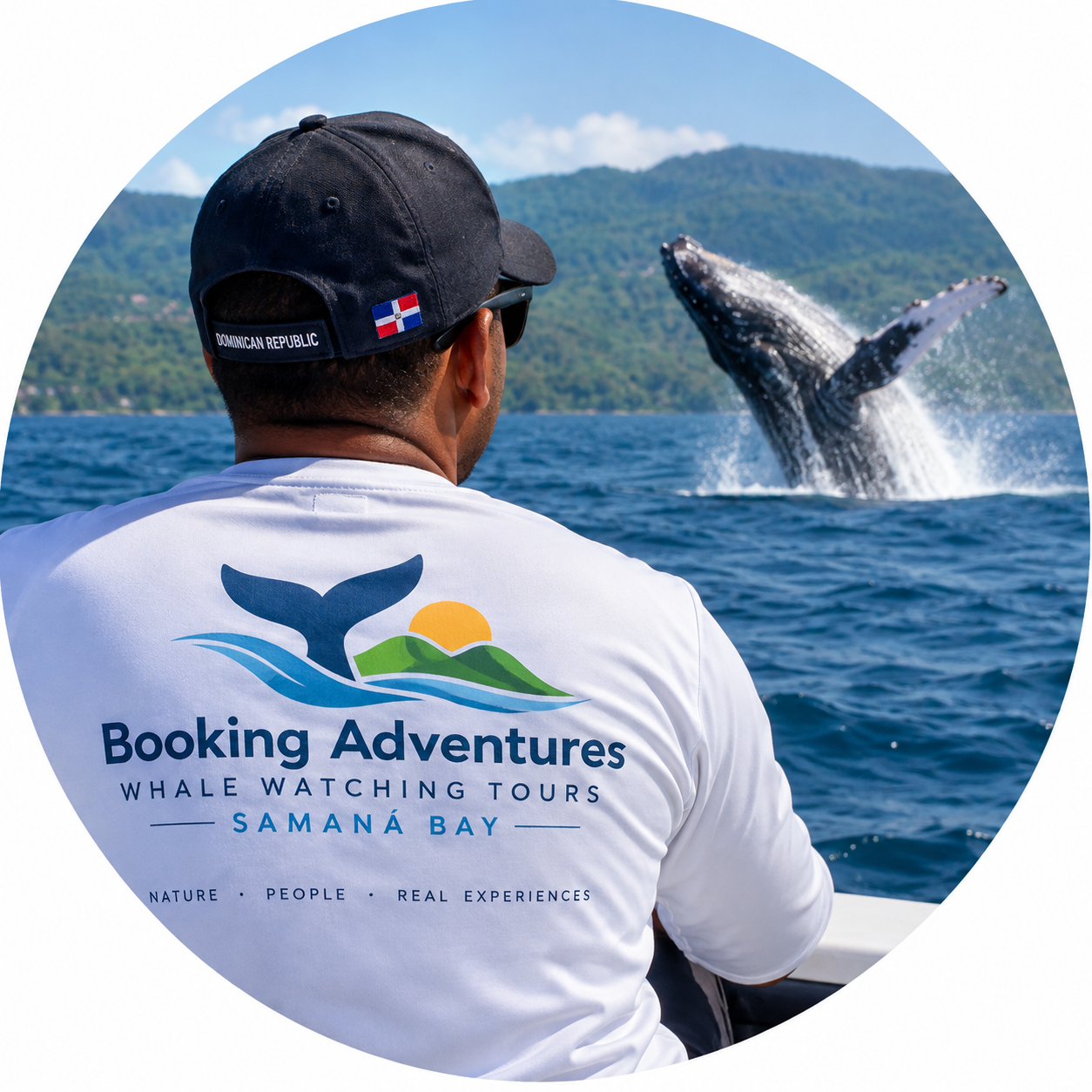
Local explorer & expert guide in Whales of Samaná.